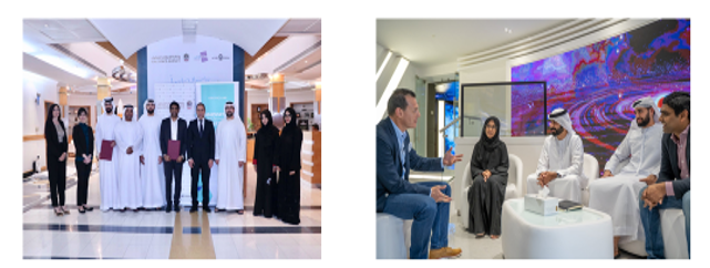
A competition aims at encouraging the utilization of satellite data to initiate business ideas along with innovate data processing in three areas:
- Rural and Urban Management Planning
- Disaster and Crisis Management
- Coastal Boarder Security
Winners of the competition are:
Farmin:
- Smart artificial intelligence solution that is forecasting the future needs of agriculture.
- Utilize satellite images to improve farming relaying on AI techniques.
- Farmer obtains: combat, diseases, fertilization required, adjust water usage, and seasons to produce.
Ayn Astra:
- Land deformation monitoring platform that uses satellite data and advanced processing algorithms.
- Utilize Synthetic Aperture Radar (SAR) to obtain surface deformation patterns and combine with land cover and land use maps.
- Provide a continuous monitoring and recommendation system.